
NASA Space Apps Challenge 2026 · Field Shift
Terra Ótima
Crop rotation plans for your land, made from NASA data with mathematical optimization.
Mark your field on the globe, answer a few questions and get rotations that balance income with soil and water health. Free and open source.
The problem
The climate is changing, water is less certain and soil wears out. It is harder to choose what to plant in the next seasons.
A crop that does well in one place can do badly a few kilometers away, because of rain, soil or terrain. The rotation that earns the most this season can use up the water and wear out the soil that the next seasons need. General advice does not see these differences.
How it works
-
Mark your field on the globe
Use the GPS of your phone or tap the map. When a satellite has already found the field boundary, you only confirm it.
-
Data describes the place
Open data from NASA and other sources describes the climate, soil and water at that point: rain, temperature, soil moisture, terrain and vegetation history.
-
The model compares rotations
A mathematical optimization model compares possible rotations and shows the trade-offs between income and soil and water health, so you can choose.
The calculation takes some time. You get the proposals in the app, by notification and by e-mail. You do not need to keep the screen open.
What the farmer tells us
Only what changes the decision and cannot be seen from space or found in public data.
- Current cropThe crop in the field now, or the last one planted. Filled in when the satellite can identify it. You can answer "I do not know".
- IrrigationYes or no. It changes the water calculation completely.
- PriorityOne slider with five positions, from "More income" to "More soil and water": how much income you accept to give up for healthier soil and water. The middle is "Balanced".
- Crops to avoidUnder "More options". Crops you do not want to plant, for reasons of market, machines or simple preference.
- LivestockUnder "More options". Whether you raise animals. It gives value to forage crops.
Every question is optional. You can request the plan with the default answers.
Everything else comes from data: climate, soil, crop calendars, agronomic parameters, prices and costs.
Getting your results
Sign in with Google or with e-mail and password. Your proposals are saved in your account.
In the background
After you request a plan, volunteer computers do the calculation. It can take from a few minutes to a few hours. You do not need to keep the app open.
Where it arrives
- The Proposals screen of the app, newest first.
- A push notification on each device where you turned on "Notifications on this device" in Account. On iPhone, add the app to the Home Screen first.
- An e-mail from [email protected], when "E-mail" is on. It goes only to a confirmed address.
Status of a proposal
- Queued: waiting for a free volunteer computer.
- Computing: a volunteer computer is working on it.
- Ready: open it to see the result.
- Failed: the calculation failed three times. Send a new request later.
Today a proposal holds the climate profile of the field from NASA POWER: rain, reference evapotranspiration (FAO-56), water balance, frost dates, hot days and dry spells. The rotation plan builds on it.
The name
Terra Ótima is Portuguese for "optimal land".
Terra
Terra means land, soil and Earth in Portuguese. English speakers know the word from terrain and terra firma. Terra is also the NASA satellite that carries MODIS, one of the sensors used here.
Ótima
Ótima means optimal, the word of mathematical optimization: each suggested rotation is the optimal solution of a model with the limits and priorities of the farmer. In everyday Portuguese it also means great.
We chose terra (land) and not safra (harvest) on purpose. The goal is not only to produce more in this harvest. It is to care for the soil, the water and the ability of the field to resist a changing climate, together with the income the family depends on.
Volunteer computing
The calculations run on computers shared by volunteers, in time when they would be idle, and not in rented data centers.
Why
- Free for every farmer, with no paid server per request.
- It does not depend on a cloud provider to keep working.
- It uses computers that already exist and are idle for much of the day.
How
- Install the agent on your computer.
- A short test measures the speed of the computer, so it gets tasks of the right size.
- It works only when the computer is idle and plugged in. You choose how many cores to share.
- The agent fetches tasks over HTTPS. No port is left open.
Energy use
Sharing a computer reuses hardware that is already built and already connected. This does not mean it is always more efficient than a data center: a modern data center can use less energy per calculation. The benefit is that the project does not need to buy or maintain servers.
While the group of volunteers grows, the project also runs an agent of its own. Each request waits in the queue until a computer with enough free time takes it. We tell you when the proposal is ready.
Share your computer
Install the Terra Ótima agent and give the idle time of your computer to calculate plans for farmers.
Requirements: Python 3.10 or newer and pipx.
-
Install the agent
pipx install "git+https://github.com/FelipePCapalbo/terra-otima.git#subdirectory=agent" -
Register the computer
It asks how many cores to share, the longest task you accept, and whether to work only when the computer is idle and only when it is plugged in. Then it runs a quick benchmark, about 20 seconds of reference optimization problems, so the computer gets tasks of the right size.
terra-otima-agent register -
Start contributing
Stop it at any time with Ctrl+C.
terra-otima-agent run
What the agent does
- It asks the coordinator for tasks over HTTPS, computes them and sends back the result. It opens no ports.
- Each farmer request becomes one or more tasks: download public NASA data for the field location and solve the rotation optimization model.
- It only takes tasks that fit in the time you accept, based on the measured speed of your computer.
- By default it works only when the computer is idle and, on a laptop, only when it is plugged in.
- It receives the coordinates of the farmer's field, because it downloads the data for that place. It reads nothing else on your computer.
Data and licenses
NASA open data
- NASA POWER: daily rain, temperature, solar radiation and wind since 1984, for the climate profile
- SMAP: soil moisture
- GPM: rain from satellite
- MODIS: vegetation and land use
- Landsat and HLS: field vegetation, at 30 m
- ECOSTRESS: temperature and evapotranspiration
- SRTM: terrain and slope
- GRACE: groundwater
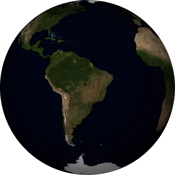
- NASA EOSDIS GIBS: Blue Marble Next Generation image of the globe
In use today: NASA POWER, GIBS, OpenFreeMap and MapLibre. The other datasets on this page are being added to the rotation model. NASA open data, free to use with credit. Some datasets need an Earthdata Login.
Other sources
- SoilGrids (ISRIC): soil properties, CC BY 4.0
- FAO data: crops, prices and water needs, CC BY 4.0
- Fields of The World: field boundaries, CC BY 4.0
- OpenFreeMap, OpenMapTiles and OpenStreetMap: place names and borders on the globe, data © OpenStreetMap contributors, ODbL
- MapLibre GL JS: the interactive 3D globe, BSD 3-Clause
Open source
All the code is open, under the Apache 2.0 license.
Earth image: NASA Blue Marble Next Generation (NASA Earth Observatory, Reto Stöckli), taken from NASA GIBS and reprojected to an orthographic view by the project. NASA images are in the public domain.